Facts
- Green landscape with dykes and river
- Much used local recreation area
- Alternation between agriculture and nature conservation
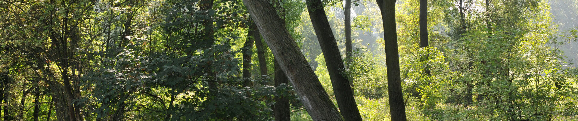
The "near-natural flooding dynamics" in the extensive estuary area of the Sieg is unique in the central Rhine Valley. The same applies to the varied and naturally protected floodplain landscape. Wide gravel banks and river meadows dominate the landscape in the estuary area.
There are meadows between the dykes,
old arms of the Sieg and remnants of alluvial forests,
which are being carefully reforested.
There is an unusually high abundance
of waders and waterfowl as well as fish stocks,
including returning salmon.
At the same time, there is a small marina in the estuary area and lively excursion traffic. The cycle path on the dyke along the Sieg is part of the Link. Like the Rheinaue floodplains, the large Sieg floodplain landscape is regularly flooded and relieves the towns during floods. Some of the fertile soil between the dykes of the Sieg floodplain is cultivated. In this way, agriculture and protected nature complement each other. In its new guise, the fishing museum provides knowledgeable information about the landscape, its fish stocks and fishing.
As part of the Green C, the link will be extended and three stations and seven landscape gates will be built.