Facts
- Floodplain landscape along the Rhine
- Center of the Green C
- Diverse flora and fauna
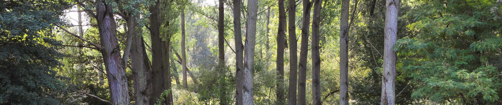
The Rhine is the center and focal point of the Green C. On the riverbanks in Niederkassel on the right bank of the Rhine and on the opposite side in Hersel and Graurheindorf, walkers will find "wild" floodplain landscapes and natural floodplains with mostly shallow banks, woodland and meadows right up to the dykes. These "wild" natural landscapes include the naturally protected Rheinaue floodplains in Niederkassel, the Sieg estuary and the riverbanks opposite.
The Lower Rhine begins at Bonn; here the river grows wider and the banks outside the towns become shallower. As the floodplains can be flooded up to the dykes, the risk of flooding in the cities is reduced. Plants and animals have adapted to this change. Their diversity is unique.
The Mondorf ferry is the "bridge building"
across the Rhine. The first major "key project"
within the framework of the Green C was the design of the
Mondorf ferry landing stages on both banks of the river.
In addition, the link will be expanded and three stations and four landscape gates will be built.